
Town of Tonawanda ZIP Code Coverage
The official Town GIS public legend lists four ZIP labels. This is a municipal reference layer, not a delivery decision or a Townwide list of people. Pair its labels with USPS for any individual address. The local reference service does not expose every label shown in the legend, which is a useful warning against treating a single map result as a fixed boundary.
| ZIP | Areas Covered | Post Office | Notes |
|---|---|---|---|
| 14150 | Appears in the Town GIS legend and is associated with Tonawanda postal addresses and the separate City area | Tonawanda postal label | No Town-only split verified |
| 14207 | Legend and reference data; western or southwestern Town areas may use it | May use Buffalo postal city | Confirm the address with USPS |
| 14217 | Kenmore label and Town-area addresses, including the municipal building | Kenmore postal label | Postal and municipal boundaries differ |
| 14223 | Legend and reference data, including Town parcels | May use Buffalo postal city | Town Court is a documented example |
These entries do not support a ZIP population, a precise exclusive polygon, or a claim that every address carrying a label belongs to the Town. A street can cross a postal or municipal edge. Divide that work into address-level units, retain the date of each map result, and ask the underlying record custodian for a disputed ownership or jurisdiction question. The map is most helpful when it narrows a physical place before a Clerk, assessment, or archival record is consulted.
Town of Tonawanda ZIP Code Discrepancy
The public legend shows 14150, 14207, 14217, and 14223. A separate Town reference-layer code listing exposes 14207, 14217, and 14223. Preserve that difference rather than silently selecting one list. Record the layer and access date, then resolve a particular street through USPS. This is more precise than importing a generic boundary graphic into a local record search.
14150 is the clearest caution. It appears in the local legend and is tied to Tonawanda postal addresses and the separate City of Tonawanda area, but no Town-only division was verified. The same reasoning applies where 14207 or 14223 appears locally but a postal result uses Buffalo.
USPS Town of Tonawanda ZIP Code Check
USPS ZIP Code Lookup is the final delivery check for one address. Its modes are By Address, By City and State, and Cities by ZIP. By Address takes street address, city, state, and optional company, apartment, suite, or ZIP information. The result standardizes delivery information. It does not prove that a named person or company is at that address.
| By Address | Checks delivery city, state, ZIP, and ZIP+4 for an individual street address. |
|---|---|
| By City and State | Lists ZIPs associated with a postal city and state. |
| Cities by ZIP | Reverses the question and returns a postal-city result. |
| Limit | A matching USPS address does not establish ownership, occupancy, or legal jurisdiction. |
Note: Preserve the printed address and USPS preferred city beside the municipal label, not in place of it.
Town of Tonawanda ZIP Code Fields
The Town GIS supplies local map context for a ZIP code directory search. Its parcel layer includes LOCALZIP for the situs address and separate owner-mail city, ZIP, and ZIP+4 attributes. The portal also shows parcels, municipal boundaries, zoning, districts, neighborhood references, and ZIP layers. These are read-only services. They help orient a search, but they are not a legal survey or proof that a person lives at a property.
The Town GIS portal is the source for the public mapping view used here.
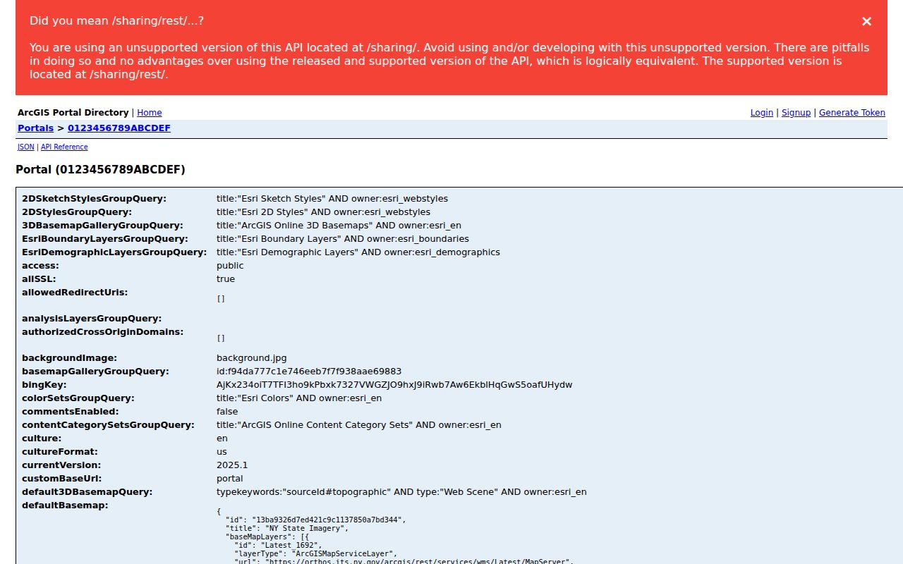
The portal view supports a map-layer check before a parcel is read, while the individual address still needs USPS confirmation and the record source that fits the question.
Find Town of Tonawanda by ZIP
A ZIP narrows geography, not identity. The GIS ZIP polygon can show a local area, while the parcel layer provides a selected parcel's site address and LOCALZIP. The BAS assessment portal offers property-address and owner searches, but no Townwide ZIP search control was located. Erie County Board of Elections requests use Town, Ward, or District geography, not a verified ZIP-wide resident output.
- Use USPS By Address to verify delivery ZIP for the exact street address.
- Open the Town GIS ZIP layer and identify the parcel or street segment in the local map.
- Read the site address, LOCALZIP, parcel key, and owner-mail distinction without treating fields as occupancy proof.
- Use BAS or the County Clerk for the specific property question, retaining source type and date.
- Once ZIP narrows the area, use the Town of Tonawanda street directory for the address-by-address workflow.
A person checking their own registration may use the state voter lookup. The public voter-file route remains limited to an elections purpose and is not a ZIP roster shortcut.
Town of Tonawanda Parcel Keys
An address and ZIP are locator fields. They differ from the tax and legal keys that follow a parcel through separate systems. The Town parcel layer uses SWIS, PARCELID, and PrintKey. Other record routes can use SBL, tax map, map or sub-map, parcel or sub-parcel, book and page, and legal-description lines. Record identifiers exactly as supplied because they are not interchangeable.
Town BAS searches a bill number, tax-map number, property address, or owner name one mode at a time. The County Clerk can search party, instrument, book and page, parcel, map, and legal description. The Clerk's Town filter is a record-index jurisdiction filter, not a postal-city filter.
- ZIP code
- A delivery routing designation that can cross municipal boundaries.
- ZIP+4
- An added four-digit segment that refines delivery for a block, building, or point.
- PO-box ZIP
- A ZIP for post-office boxes that may not identify a physical street site.
- Unique ZIP
- A postal designation for one large organization or delivery destination when USPS assigns one.
- Carrier route
- A postal delivery sequence, not a legal neighborhood or municipality.
Town of Tonawanda ZIP Boundaries
Town of Tonawanda, City of Tonawanda, and Village of Kenmore are distinct municipalities. Postal labels use another geography. The Town municipal building is at 2919 Delaware Avenue, Kenmore, NY 14217, while Town Court is at 1835 Sheridan Drive, Buffalo, NY 14223. These official examples show why a postal city must not become a municipal finding.
Boundary rule. A GIS ZIP polygon, USPS city, Town parcel, and legal municipality each answer a different question. Record all four when a boundary matters.
Historical sources add another layer. Library directories can use Tonawanda Township, Tonawandas, Buffalo Northeast Suburban, or Erie County Suburban. A regional heading locates a volume, but a parcel or census label is needed before drawing a municipal conclusion.
Town of Tonawanda ZIP Directory Labels
The strongest postal research note retains four labels where available: address as printed, USPS preferred city, Town, City, or Village jurisdiction, and the local GIS ZIP polygon. A tax record can use Town or village components where the mailing city says Buffalo or Kenmore. A historical directory may use a regional Tonawandas heading. These differences are evidence to retain, not errors to erase.
For an older address or boundary question, save the street form, date, parcel key, book and page, legal description, and source URL. No official Town street-renumbering history or Townwide assessor ZIP search was verified. The safe path is current USPS address, then GIS parcel, then historical legal description and directory variants.
Note: ZIP labels guide a search area, but only the relevant custodian record establishes the limited fact it holds.